
Turkey
Kaçkar Mountains
Glacial lakes above the clouds where herders still drive cattle to alpine meadows each summer.
Cloud rolls through the pass and the glacial lake appears — steel-grey water ringed by wildflowers at 3,000 metres, no sound but wind and the distant clang of cowbells. The Kaçkar Mountains in Turkey's Eastern Black Sea region feel like another country entirely: alpine meadows, stone herders' huts, and air so clean it stings.
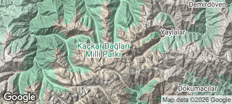
The Kaçkar range rises to 3,937 metres and straddles one of the sharpest climate boundaries on Earth — the Black Sea side receives up to three metres of annual rainfall while the Eastern Anatolian side is semi-arid. Over 200 alpine lakes are scattered through the range, many accessible as day hikes from the village of Ayder. Multi-day circuits pass through yayla settlements where Hemşin and Laz families still drive cattle to summer pastures each June, maintaining a transhumance tradition that predates recorded history. The highest peak is a non-technical climb requiring crampons only in early summer, making it one of Turkey's most accessible high-altitude summits.
Solo
Multi-day trekking with minimal infrastructure — sleep in yayla huts, eat thick highland yoghurt for breakfast, and navigate by cairns through some of Turkey's wildest terrain.
Friends
A summit attempt on the 3,937-metre peak makes for a shared challenge without the expense or bureaucracy of Himalayan climbing. The post-hike kuymak in Ayder is earned.
- The range straddles the Black Sea coast and Eastern Anatolia — one side receives 3 metres of annual rainfall, the other is semi-arid.
- Multi-day circuits pass through yayla villages where Hemşin and Laz families still drive cattle to summer pastures each June.
- The highest peak (3,937m) is a non-technical climb requiring crampons only in early summer.
- Over 200 alpine lakes are scattered through the range — some are accessible as day hikes from the village of Ayder.
Yayla yoğurdu — thick highland yoghurt from cows grazed on alpine wildflowers, tangy and rich.
Kaçkar honey — dark, aromatic, and harvested at altitude, sold by beekeepers at mountain huts.

Jebel Saghro
Morocco
Volcanic spires and mesa canyons where Aït Atta nomads still winter with their herds.

Mount Olympus
Greece
Home of the gods — clouds swirl around 2,917 metres of limestone and myth.

Rob Roy Glacier
New Zealand
A hanging glacier calving ice into a valley of waterfalls reached by a half-day scramble.

North Cascades
United States
More glaciers than any park in the lower forty-eight, yet almost no one comes.

Munzur Valley
Turkey
Crystalline springs feeding ice-blue pools in a gorge where brown bears still roam undisturbed.

Tunceli
Turkey
Turkey's least-visited province — wolf country, sacred springs, and Alevi shrines in roadless valleys.

Nemrut Crater Lakes
Turkey
Two lakes inside a volcanic crater, side by side, one warm enough to swim, one ice-cold.

Diyarbakır
Turkey
5.8 kilometres of black basalt walls encircle a city on the Tigris, contested for five millennia.