
Pakistan
Rush Lake
At 4,694 metres, one of Earth's highest alpine lakes mirrors Rakaposhi and Diran in still water.
The final ridge breaks and the lake appears — a mirror of glacial meltwater at 4,694 metres, reflecting Rakaposhi and Diran Peak in water so still it looks solid. Your lungs burn from the altitude and the three-day climb. Your legs protest. None of it matters. Rush Lake is the kind of view that repays every step with compound interest.
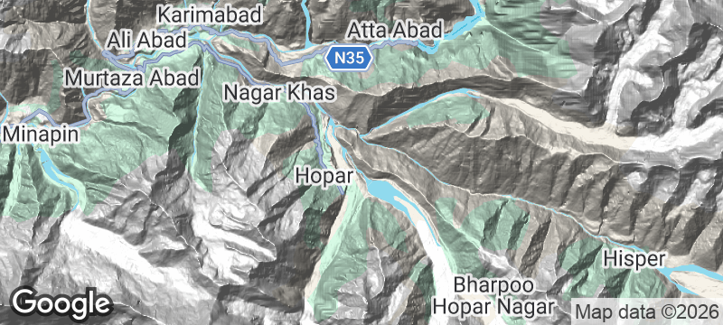
Rush Lake sits at approximately 4,694 metres in the Nagar Valley of Gilgit-Baltistan, making it one of the highest alpine lakes in the world. The trek from Hopar village typically takes two to three days, climbing through birch and juniper forest before emerging onto alpine meadows and moraine. Rakaposhi (7,788 metres) and Diran Peak (7,266 metres) dominate the skyline from the lake's shore, their reflections filling the surface on calm mornings. The lake is fed by glacial melt and snowpack, and its colour shifts between deep blue and milky turquoise depending on sediment load and season. No permanent structures exist at the lake — trekkers camp on the moraine. The route is non-technical but strenuous, and altitude sickness is a real concern above 4,000 metres. Local porters from Hopar and Nagar guide groups along the unmarked trail.
Solo
Three days of climbing to earn a view that fewer than a few hundred people see each year — Rush Lake is the solo trekker's ultimate altitude reward in the Karakoram.
Friends
A multi-day trek to one of Earth's highest lakes, camping on moraine beneath 7,000-metre peaks — Rush Lake is the shared achievement that becomes the centrepiece of every trip retelling.
- Rush Lake sits at 4,694 metres — among the highest hikeable alpine lakes in the world — accessible via a one-day steep trail from Huru Camp.
- Rakaposhi's north face and Diran Peak both reflect in the lake's surface on windless mornings, a double-peak panorama at high altitude.
- The trail from Minapin village gains 2,300 metres in elevation over 14 kilometres — technical fitness required, no rope or technical gear needed.
- The lake is snowbound for nine months of the year, with a window of approximately six weeks in August and September when the surface is clear.
Trail meals of dried apricots, walnuts, and dense chapati prepared by Nagar porters over kerosene stoves.
Post-trek Hunza soup — thick, warming, ladled with chunks of potato and local herbs at the trailhead camp.

Cerro Pirre
Panama
A ranger station in the Darién cloud forest accessible only by foot through trackless jungle.

Nevado de Toluca
Mexico
Twin crater lakes at 4,200 metres, their colours shifting between jade and obsidian with the clouds.

Bavella Needles
France
Red granite spires piercing Laricio pine canopy like a mountain range losing its temper.

Edale
England
The Pennine Way's first step, where the path vanishes upward into peat and cloud.

Astola Island
Pakistan
Pakistan's largest island — uninhabited, unreachable half the year, ringed by water so clear it aches.

Hingol National Park
Pakistan
Wind-carved rock pillars resembling alien temples standing guard over Pakistan's most surreal coastline.

Peshawar
Pakistan
Copper-pot green tea in the Bazaar of Storytellers where Pashtun merchants have traded for millennia.

Cholistan Desert
Pakistan
Forty bastions of a forgotten fortress rising from featureless desert where camel nomads still roam.