Greece
Samaria Gorge
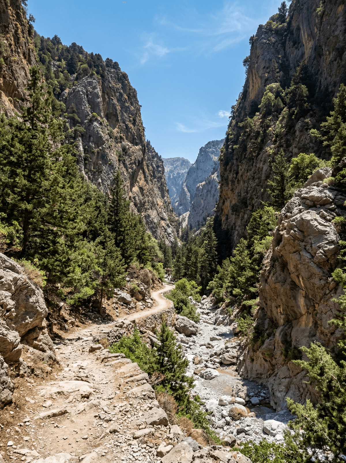
Sixteen kilometres of vertical canyon walls narrow to four metres at the Iron Gates.
Sixteen kilometres of vertical canyon walls, the path dropping from the Omalos plateau at 1,220 metres to the Libyan Sea at Agia Roumeli. At the Iron Gates the walls close to three and a half metres, three hundred metres of rock on either side, and you walk through a gap that is the narrowest non-slot canyon section in Europe.
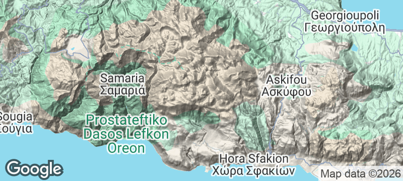
The Samaria Gorge runs 16 kilometres from the Omalos plateau to the coastal village of Agia Roumeli, descending over 1,200 metres in four to six hours. At the Iron Gates the walls squeeze to 3.5 metres with 300 metres of rock overhead. The trail passes the abandoned village of Samaria, evacuated in 1962 when the national park was created, and the kri-kri — the Cretan wild goat — survives in the gorge and shows itself beside the path more often than you would bet.
Solo
Starting at dawn before the crowds, the Iron Gates in early-morning shadow, and the sense of achievement at Agia Roumeli.
Friends
The full descent as a group challenge, spotting kri-kri on the cliffs, and collapsing into the Agia Roumeli tavernas for cold beer and fish.
- At the Iron Gates you can touch both walls at once, with 300 metres of rock overhead.
- The ghost village of Samaria stands mid-trail, left when the park was born in 1962.
- Kri-kri appear beside the path — the gorge is their last stronghold.
- The finish is a roadless coastal village: boots off, straight into the Libyan Sea.
Agia Roumeli's tavernas cook for finishers — grilled lamb, village salad, the day's fish off the boats.
Ice-cold fresh orange juice at the exit gate ends the walk properly.
Nevado de Toluca
Mexico
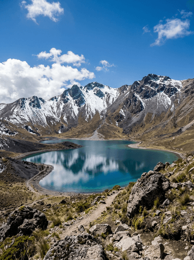
Cold crater paths circle two high lakes beneath Mexico's shifting mountain weather.
Kaçkar Mountains
Turkey
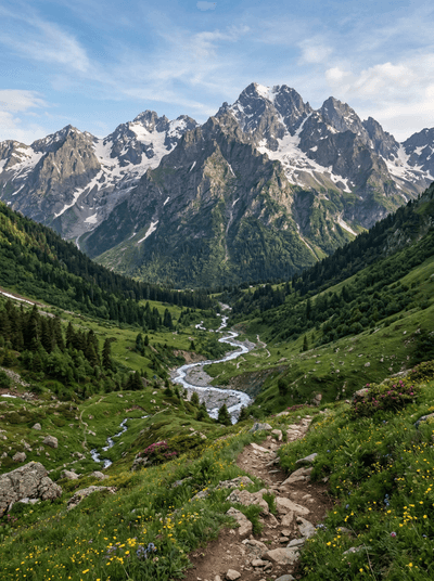
Glacial lakes above the clouds where herders still drive cattle to alpine meadows each summer.
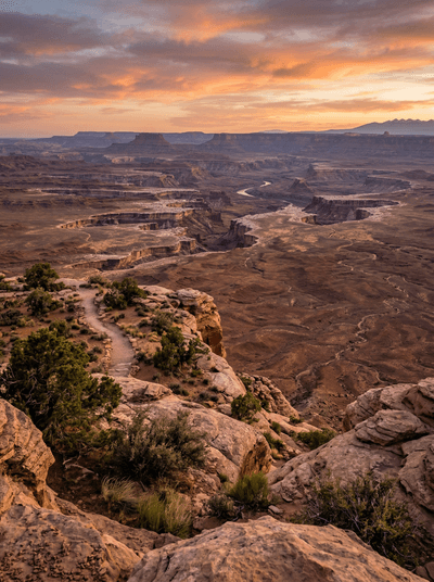
Canyonlands
United States
The Colorado and Green Rivers fracture the Earth into a labyrinth of mesas with no bottom.
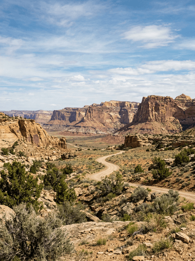
Grand Staircase-Escalante
United States
Slot canyons so narrow you turn sideways to pass through walls of swirled sandstone.
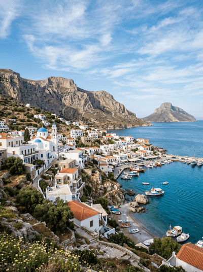
Kalymnos
Greece
Chalk-dusted hands on overhanging limestone where sponge divers' grandchildren turned an island into a climbing mecca.
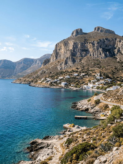
Telendos
Greece
A single dark cliff in the strait, Christian ruins on its shoulder, climbers on its face.
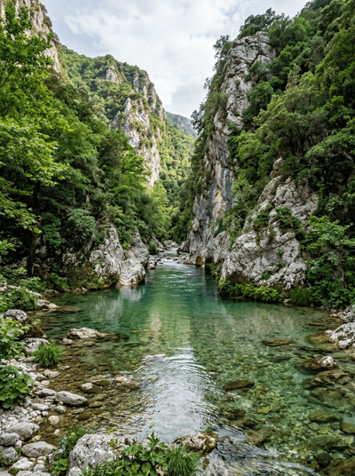
Acheron River
Greece
Wade into the ice-cold River of the Dead — Greeks believed it flowed to Hades.
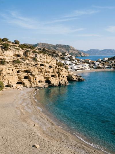
Matala
Greece
Cliff caves once Roman tombs, then a hippie commune — Joni Mitchell slept in these rocks.