Costa Rica
Cerro de la Muerte Páramo
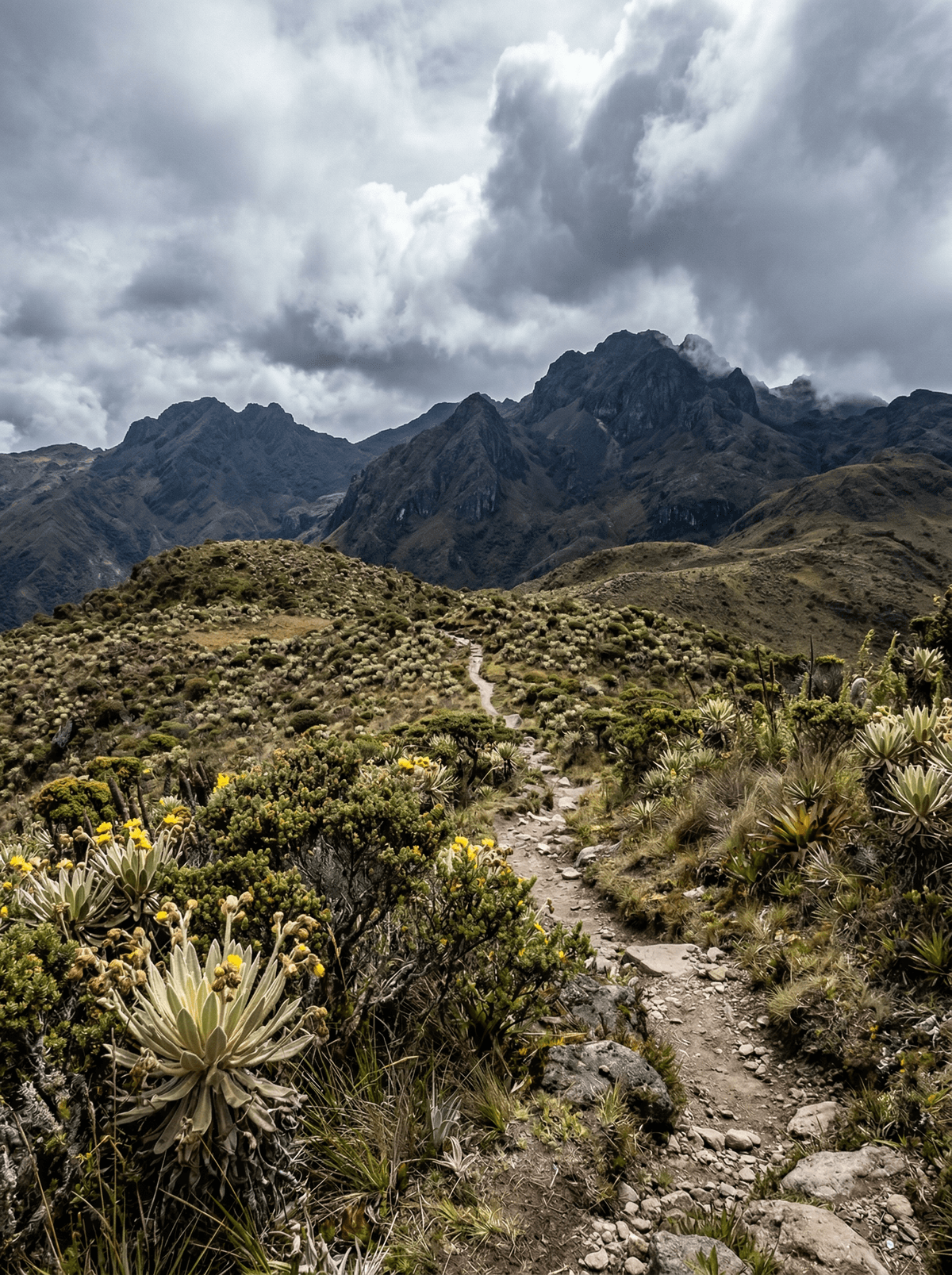
Frost at dawn, eight degrees north of the equator, on the Mountain of Death.
Frost crunches underfoot at dawn. Wind flattens the tussock grass in waves, and your breath hangs visible — in a country eight degrees north of the equator. On Cerro de la Muerte's high páramo, Costa Rica stops feeling tropical entirely.
The Mountain of Death earned its name before the road came, when crossing the exposed heights on foot killed travellers with cold; now the Interamerican Highway runs over the massif, and the páramo — wind-sculpted dwarf shrubs, tussock and high bogs of a kind you must otherwise seek in the Andes — begins at the roadside. The massif falls inside the Tapantí–Macizo de la Muerte park's protection, and its slopes drop into quetzal cloud forest, where highland lodges run dawn birding walks when the aguacatillo trees fruit. Dry-season nights dip toward freezing; days swing bright and wild. It is Costa Rica's strangest drive — jungle to alpine and back inside an hour.
Solo
Solitary, elemental walking at altitude — wind, open sky and sudden weather for the self-sufficient traveller.
- Páramo — the high, wind-sculpted ecosystem of the Andes — meets the road here at its most reachable.
- The massif sits inside the Tapantí–Macizo de la Muerte national park's protection.
- Highland lodges run dawn quetzal walks on the forested slopes below the páramo.
- Dry-season dawns bring frost and near-freezing air — pack for another country, because up here it is one.
Campesino coffee brewed through a cloth chorreador at the highland roadside stops.
Olla de carne — slow beef, corn, yucca and chayote, the bowl that beats the altitude chill.
Drakensberg
South Africa
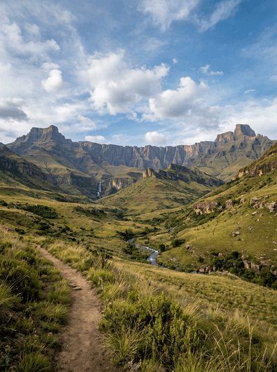
Basalt walls rise above sandstone caves painted across thousands of years.
Parque Nacional Volcán Isluga
Chile
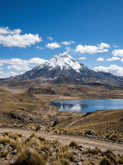
Volcanic horizons and high wetlands surround living Aymara settlements in the altiplano.
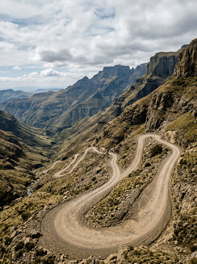
Sani Pass
South Africa
A switchback road climbs from green foothills to a high border above the clouds.
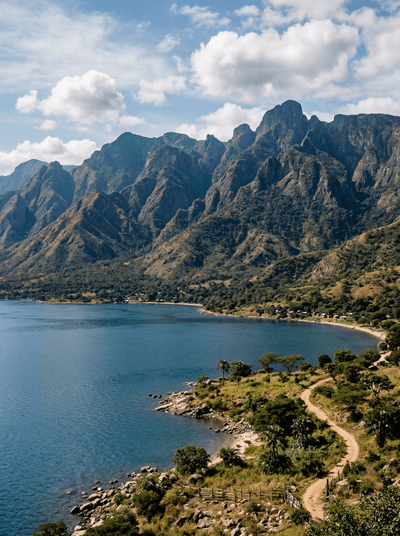
Livingstone Mountains
Tanzania
A green wall drops 1,500 metres from cold summits into a warm clear lake.
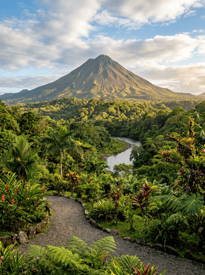
Arenal & La Fortuna
Costa Rica
Hot springs steaming through jungle beneath a volcano's perfect cone at dusk.
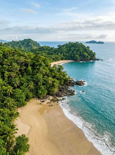
Manuel Antonio
Costa Rica
Capuchins patrol the sand beneath dozing sloths where rainforest walks into the ocean.
Tortuguero
Costa Rica
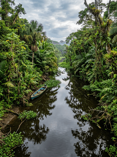
Jungle canals where green sea turtles haul onto black volcanic sand under a moonless sky.
Corcovado National Park
Costa Rica
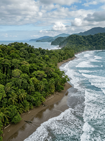
National Geographic called it the most biologically intense place on Earth. They undersold it.