
Costa Rica
Cloudbridge Nature Reserve
Dead cattle pasture transformed into cloud forest in twenty years — quetzals returned before anyone expected.
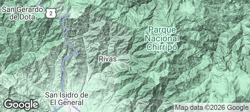
The trees here are young enough that you can watch the cloud forest rewriting itself. Mist rolls through canopy that did not exist twenty years ago, clinging to branches planted by hand on hillsides that were bare cattle pasture at the turn of the millennium. Cloudbridge Nature Reserve in Costa Rica's Southern Highlands is a living time-lapse of ecological recovery.
Cloudbridge was purchased as degraded land in 2000. Since then, over seventy-five thousand native trees have been planted on slopes that were stripped for grazing — each one GPS-tagged and identified by species, creating a recovery map that tracks the forest growing uphill, slope by slope. Resplendent quetzals were first recorded nesting within the reserve in 2011, just eleven years after the first saplings went in. The reserve sits on the main hiking route to Cerro Chirripó, Costa Rica's highest peak, and serves as an acclimatisation stop where trekkers and volunteers share trails and a communal kitchen. The result is not a museum of what was lost. It is proof of what comes back when the land is given a chance.
Solo
Volunteer programmes welcome solo travellers for trail maintenance and tree planting — a chance to contribute to the recovery while preparing for a Chirripó summit attempt. Walking alone through regenerating forest carries a quiet optimism that stays with you.
Couple
The intimacy of a small reserve where you can see the before-and-after of reforestation in a single walk makes Cloudbridge a meaningful shared experience. The communal kitchen and nearby San Gerardo de Rivas village keep it grounded and unpretentious.
- Cloudbridge was purchased as degraded cattle pasture in 2000 — the reforestation project has since planted over 75,000 native trees on land that was bare hillside.
- Resplendent quetzals were first recorded nesting within the reserve in 2011 — eleven years after purchase — and now nest annually in the zone above 2,000 metres.
- The reserve sits on the main hiking route to Chirripó summit, used as an acclimatisation walk — volunteers and hikers share the trails and the kitchen.
- All planted trees are tracked by GPS and identified by species — the recovery map shows the forest growing uphill from the valley, slope by slope.
San Gerardo de Rivas, at the reserve's base, serves hearty trout and gallo pinto to hikers.
The volunteer kitchen fuels trail workers with farm-sourced beans, eggs, and strong café.

Rannoch Moor
Scotland
Fifty square miles of nothing — Britain's last emptiness, crossed by one road and one railway.

Al Madam
United Arab Emirates
Half-buried houses disappearing into sand dunes — a village the desert is slowly swallowing whole.

Arabuko-Sokoke Forest
Kenya
East Africa's largest coastal forest shelters species found nowhere else — including the golden-rumped elephant shrew.

Wistman's Wood
England
Twisted ancient oaks dripping with moss in a silence so deep it hums.
Gandoca-Manzanillo Wildlife Refuge
Costa Rica
Manatees surface in tea-coloured lagoons backed by untouched Caribbean reef and jaguar-haunted forest.

Térraba-Sierpe Wetlands
Costa Rica
Central America's largest mangrove system — root-tunnel corridors where caimans drift and roseate spoonbills flash pink.

Río Celeste
Costa Rica
Two clear rivers collide and turn supernatural blue — no dye, no trick, just volcanic alchemy.

Pavones
Costa Rica
One of Earth's longest left-hand waves — ride for a full minute on a good swell.