Mexico
Espíritu Santo Island
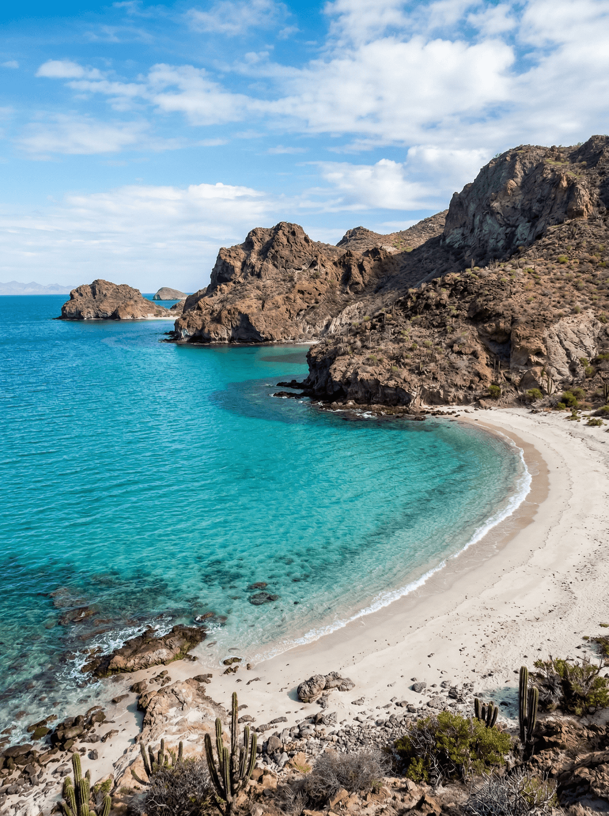
Red volcanic cliffs fold around clear coves reached by boat from La Paz.
The island repeats one simple trick again and again. A red volcanic headland, then a cove of pale sand and glass-clear water, then another, all the way up its western shore.
Espíritu Santo's volcanic cliffs, coves and desert vegetation lie off La Paz within a protected archipelago, visited by boat on authorised routes for walking, kayaking and snorkelling. October to December is the park's recommended window, and every marine sighting remains conditional. Day trips traditionally end with a fresh ceviche lunch aboard or ashore.
Friends
Share an authorised boat day of coves, snorkel stops and a ceviche lunch.
Couple
Kayak the western coves in the calm season and picnic where permitted.
Solo
Join a small authorised group and let the archipelago set the rhythm.
- Volcanic cliffs, coves and desert vegetation define the Espíritu Santo archipelago off La Paz.
- CONANP permits boating, walking, kayaking and snorkelling through authorised visitor routes.
- October to December is the park's recommended period, while marine sightings remain conditional.
Island day trips traditionally close with fresh fish ceviche and tostadas served on board.
At the La Paz departure point, Taco Fish's fish tacos and El Zarape's shrimp and octopus tacos set the seafood standard.
Wadi al-Gemal
Egypt
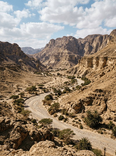
Red desert wadis spilling into turquoise sea, Ababda nomads herding camels on empty shore.
Kullaberg Nature Reserve
Sweden
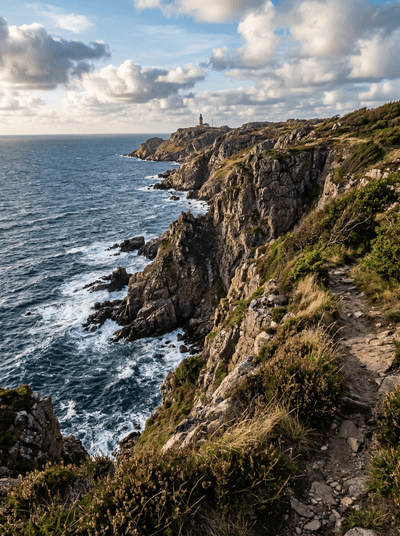
Sea caves and porpoise pods along a dramatic headland where Skåne plunges into the Kattegat.
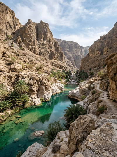
Wadi Shab
Oman
A chain of cool pools ends at a waterfall hidden inside a keyhole chamber.
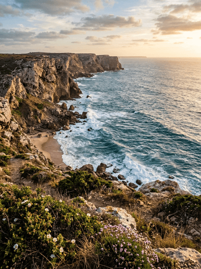
Costa Vicentina
Portugal
Among Europe's last wild coasts — empty surf detonating beneath clay-red cliffs for miles.
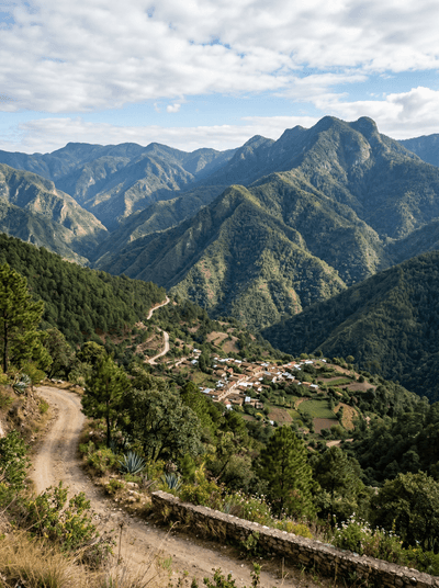
Oaxacan Sierra Norte
Mexico
Cloud-forest trails link Zapotec villages that invented community ecotourism in Mexico.
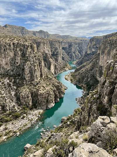
Cañón del Pegüis
Mexico
The Río Conchos cuts striped desert rock into a remote Chihuahua gorge.
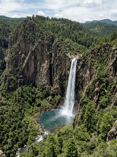
Basaseachi Falls
Mexico
Seasonal water plunges into a pine-lined canyon in Chihuahua's Sierra Madre.
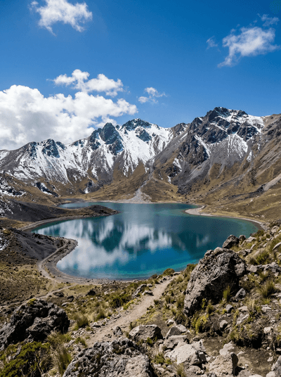
Nevado de Toluca
Mexico
Cold crater paths circle two high lakes beneath Mexico's shifting mountain weather.