
Peru
Valle de los Volcanes
A valley bristling with over eighty volcanic cones, like another planet dropped into the Andes.
Cinder cones dot the valley floor by the dozen, some sharp-edged and raw, others softened by centuries of scrub grass — a volcanic field so dense it looks rehearsed. The Andes frame the horizon in every direction, but here in the Andagua Valley the earth itself takes centre stage. Valle de los Volcanes in Peru's Arequipa Region feels less like a landscape and more like a geological exhibition.
The Valle de los Volcanes, centred on the town of Andagua, contains over eighty volcanic cones spread across a valley at roughly 3,600 metres altitude. The cones range from a few metres to several hundred metres in height, formed by eruptions spanning from the Pleistocene to as recently as a few hundred years ago. Lava flows have dammed rivers, created lagoons, and left dark basalt fields between the cones. The valley was declared a UNESCO Global Geopark in 2024, recognising both its geological significance and the traditional farming communities that cultivate terraces between the cones. Getting here requires a full day's drive from Arequipa via the Cotahuasi road, and visitor infrastructure remains minimal — a handful of family-run hospedajes in Andagua provide the only accommodation.
Solo
Walking between volcanic cones at your own pace, picking routes across lava fields and up crater rims with no marked trails and no other hikers — this is exploration in its rawest form. The solitude is total.
Couple
The valley's otherworldly scenery — dark cones against green terraces, lagoons filling old craters — provides a backdrop so unusual that every moment feels like a private discovery. The remoteness ensures you share it with almost no one.
- Over 80 volcanic cones rise from the valley floor, the largest reaching 200 metres above the surrounding lava fields.
- The Andagua volcano is young enough that local Collagua oral traditions record eruptions — the land itself still holds the memory of the last fire.
- Black lava fields dominate the valley floor, contrasting with the snow-capped summit of Coropuna (6,377 metres) filling the horizon to the east.
- The town of Andagua sits at 3,540 metres and sees almost no international tourism — a single plaza restaurant serves the handful of visitors who arrive.
Trucha frita from the Andagua River, served at family-run hospedajes where the volcanic landscape fills every window.
Choclo con queso — roasted giant corn with highland cheese — bought from village women between volcanic cones.

Gaua
Vanuatu
A volcanic lake drains into the ocean via a waterfall that plunges through untouched jungle.

Quebrada de Humahuaca
Argentina
A canyon of fourteen-colour hills where Inca trails thread through villages older than the conquest.

Vale do Paúl
Cape Verde
Sugarcane terraces spill down a volcanic crater into the greenest valley in the archipelago.

Achik-Tash
Kyrgyzstan
Yurt camps at 3,600 metres beneath a 7,134-metre peak, alpinists and trekkers sharing vodka at sunset.

Cusco
Peru
Inca walls fitted so tightly a knife blade won't slide between the stones.

Machu Picchu
Peru
Cloud forest parts at dawn to reveal granite terraces balanced on the edge of the world.

Arequipa
Peru
A city carved from white volcanic stone where every building glows amber at sunset.
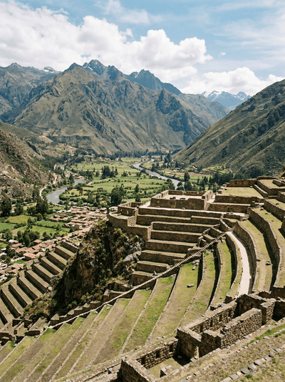
Sacred Valley (Ollantaytambo)
Peru
Inca water still flows through stone channels beneath the windows of a living fortress town.